 EN
EN  DE
DE  FR
FR  ES
ES Orientation in Costa Rica 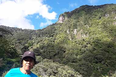
How do I get along?
Orientation in Costa Rica is quite easy. The most important road through Costa Rica is the Panamericana (Ruta 1), the road that runs from Tierra del Fuego to Alaska but is interrupted between Panama and Colombia. The Panamericana connects San José north with Liberia and then Nicaragua, south over the Cerro de la Muerte to Panama. Another road (32) leads from San José through the Braulio Carrillo National Park to el Limon in the east on the Caribbean of Costa Rica. To the west there is highway number 29, which connects San José and Santa Ana with Puerto Caldera and Puntarenas.
The cities are usually laid out in a checkerboard pattern so that orientation is easier. At Plaza Central, the main square and center of every city, is Avenida Central, crossed with Calle Central. 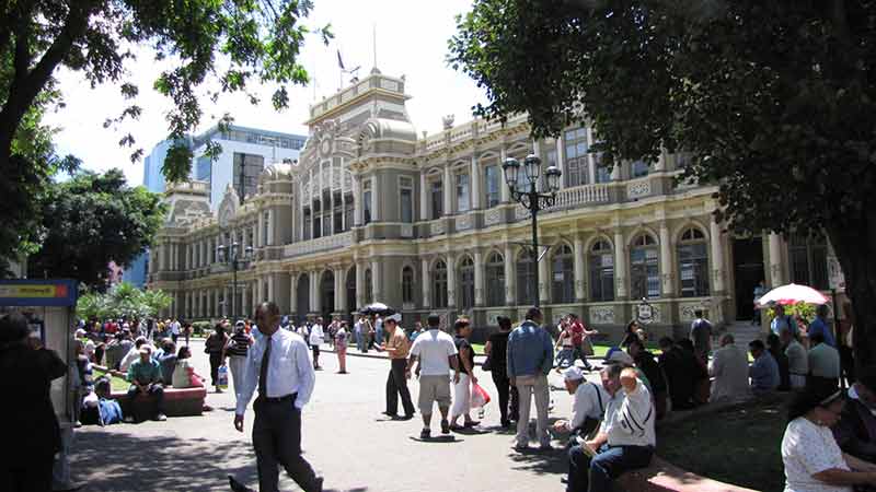 The Avenidas run from east to west, the even numbered Avenidas are south of Av. Central, the odd numbers north. The streets (calles) are the same - the even ones to the west, the odd ones to the east. Once you get used to this system, orienting yourself in a Costa Rican city is understandable. This makes it quite easy to find your way around Costa Rica.
It is highly recommended to use the Waze app. This is updated live with all traffic reports, police checks, etc. and is the most reliable navigation system in Costa Rica. In order to receive these updates, the app of course needs internet. In our Posada you can get SIM cards inexpensively. We would be happy to help you set up. Alternatively, navigation devices are also available, but to be honest these are a bit outdated and unfortunately are no longer updated. If you don't have a cell phone or simply prefer to have access to such a device, we are of course still happy to lend it to you.
Getting to the Posada is very easy: coming from San José, take Highway 27 heading west, exit Santa Ana.
